|
The Circles are today's quakes.
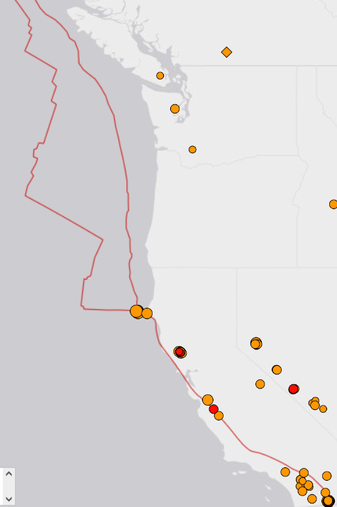
I drew the Red line to show the direction of the push for the earth crust displacement that's the direction the Pacific Plate is going, or being pushed up under the Japanese island chain.
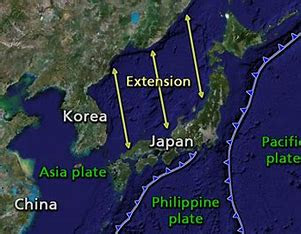
China is mostly huge mountains of rock. As the Pacific plate moves West it slowly dives under all that rock to where it sticks, but when it releases you get an event like Honshu, or Fukushima. In the above image that area is the center Extension line area. The Honshu quake was East of there offshore so when it snapped a Tsunami formed that was about 40 meters high as it came into the coves.
The Coves most at danger are hopefully protected with a new 400KM Cement wall.
https://www.youtube.com/watch?v=EjGB-69sYjM&pp=ygUSamFwYW4gdHN1bmFtaSB3YWxs
Depending on the quake type, and this would include areas like Seattle, an offshore quake would "Snap" back as the plate going under would release from the Continental plate that causes the uplift of many trillions of gallons of water thus causing the Tsunami. However there's a catch.
If its just the snap at the plate borders much of that pressure moves along the plate, stops, then builds pressure and then another quake etc.
The Japan area is a hot area.
The Mariana Trench is an oceanic trench located in the western Pacific Ocean , about 200 kilometres (124 mi) east of the Mariana Islands ; it is the deepest oceanic trench on Earth. A record depth of 10.6 km (35,000 ft; 6.6 mi) below the sea surface
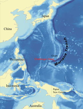
This is the build line for all the quakes West in Indonesia. That entire area is full of underwater volcanoes.
The stress along this area creates some of the most beautiful Volcanoes all over Japan.
El Nino
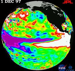
There is so much heat under this active area. Purple.
Indonesia has around 130 active volcanoes , making it the country with the highest number of volcanoes in the world. T
This is where the West Coast gets its El Nino from as the underseas volcanoes heat massive amounts of water. Blamed on Human Caused global warming.
Moving back to the US the same conditions exist, there's a huge undersea volcano off the Oregon coast. Then the entire Cascade Mountain range.
The say the PSNW is about to have a 9.3 Mag quake. That is to a large degree been prepared for except in Seattle area as Seattle is built in a bowl of loose fill. What worries them most is the two fault lines running North to South along the entire West Coast.
Its one thing to have a quake pushing to the East from offshore, but if it triggers a slip along Strait of Juan de Fuca, and the San Andreas fault, they merge at the northern California and Oregon Coasts. The Axial Seamount.
Scientists Warn of an Undersea Volcano Eruption Near Oregon Coast in 2025
Beneath the waves of the Pacific Ocean , about 470 kilometers off the coast of Oregon , lies Axial Seamount , an undersea volcano at the cutting edge of scientific exploration. Decades of monitoring have allowed researchers to make a bold prediction: Axial Seamount is likely to erupt in 2025 . This rare advance notice—achieved through years of precise data collection—marks a turning point in the science of volcanic forecasting. By interpreting ground swelling, seismic activity, and other signs, scientists aim to not only predict eruptions but also deepen their understanding of the volcanic processes shaping our planet.
https://www.msn.com/en-us/science/environmental-science/scientists-warn-of-an-undersea-volcano-eruption-near-oregon-coast-in-2025/ar-AA1wBkk6
If the pressure and timing is right, or wrong depending on how you view it? The area with addition stress from a quake and volcanic release could send the entire Fault into motion perhaps as far down as Ridgecrest, CA.
The USGS doesn't like to tell people BUT!
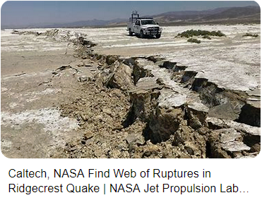
If in Seattle....
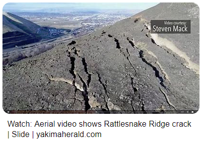
This Crack in the Mountain would upon a good sized quake cause this mountain to slide down burying everything, and causing a natural dam to the Columbia River.
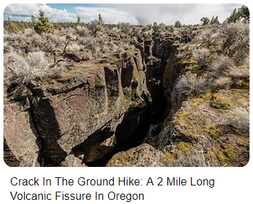
Oregon

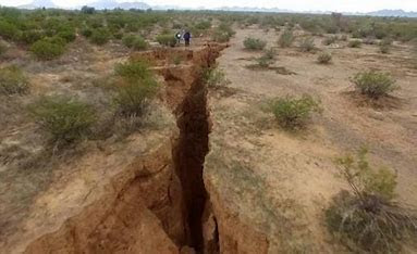
The Arizona Geological Survey is monitoring a 2-mile long crack that has opened up in the Arizona desert .
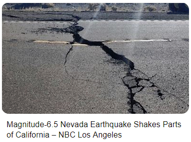
North of Las Vegas
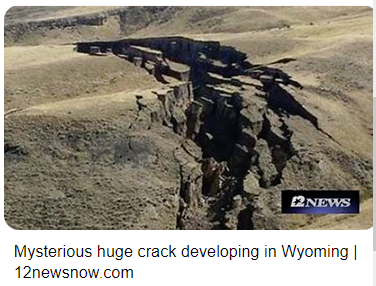
Wyoming Crack
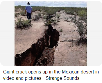
Mexico
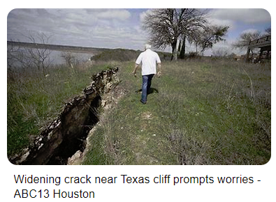
Texas
There's been more and more activity at Yellowstone. The USGS tries to remove them.
As a related fact: In 2022 the Tonga Volcano was massive.
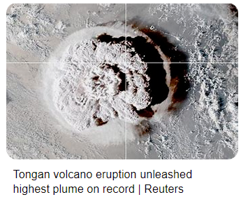
The reason I am noting this is scientists now claim that what preceded this massive explosion was two small earthquakes about 3.0/3.5 and the Ocean above suddenly found its way to the top of that hot lava about 2,000 feet down and everything blew in one of the largest recorded eruptions.
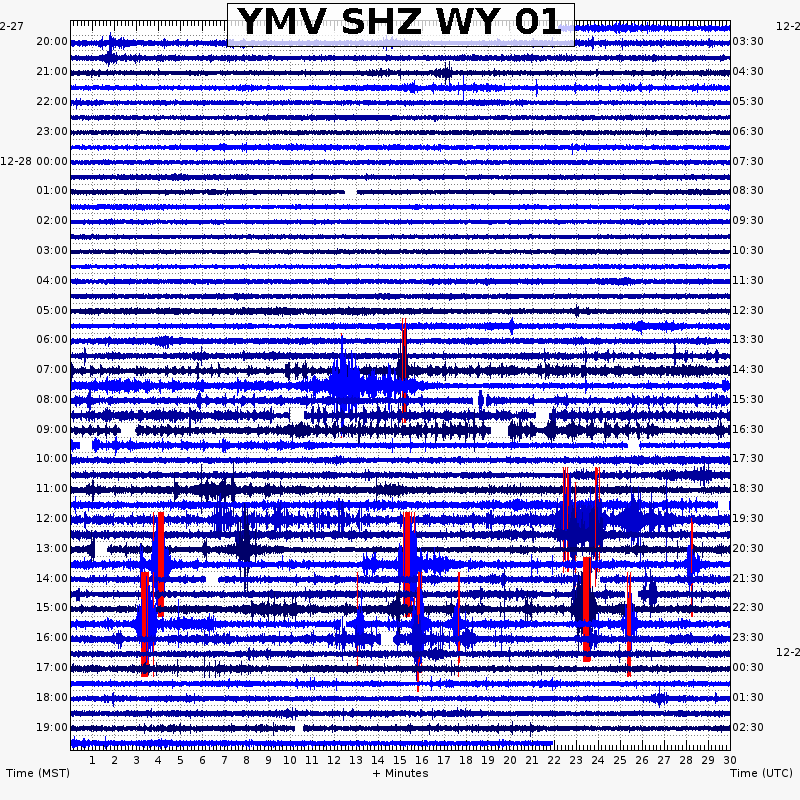
Could the same happen in Wyoming at Yellowstone?
BTW: The USGS has informed me that if so, I have less then two minutes to kiss my ass goodbye.
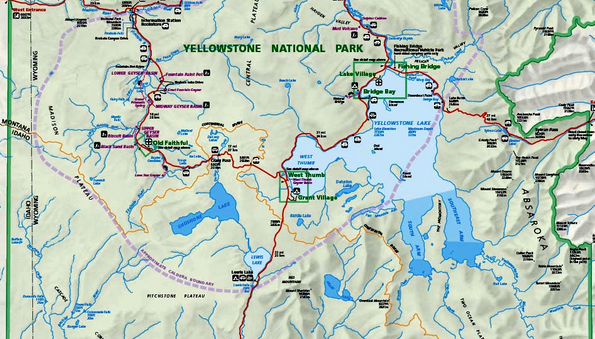
A very large lake above a massive hot caldera of lava.
The recent California quake sent a ripple through the Yellowstone park, but that was 1300 miles away off the Pacific Coast, a 9.3 mag could be really bad.
In scope, the caldera under the park runs from Wyoming back to almost Kennewick, WA. Not fare from the above Rattlesnake Ridge crack in the mountain.
An example would be a buried oil drum where something hits the side of it causing a massive ripples to travel through the drum. The "Hit" Could be a large quake off the Seattle or Portland areas, which also might trigger that undersea Oregon volcano to erupt.
Could also be one of Russia's Supersonic Missiles that augers deep into the ground at Mac 18 or so. All non nuclear warheads. People in the area said it felt like a quake from 3-5 miles away from where it landed, and it didn't have any warheads that were explosive. #FAFO
I hope the above helped? As far as Japan, I'd look for a quake off Guam, or Indonesia that might be large, then others to fill in the distance to level the stress across all the plates.
Keith
|