- The series of photos below were taken as I made my tour
of three counties above New York City, mapping the communications spectrum
for various police, fire, emergency and Amateur radio operations, which
include RACES and AREC. The data is needed in the event of a wide area
state of emergency.
-
- During my tour of duty, the following pictures were taken.
The photos provide proof that something is being done to our skies. Something
about which we know nothing. Whatever the purpose, this writer is accumulating
proof that whatever the purpose of this spraying, radio communications
is affected. In some cases adversely and in others, positively. The most
positive effect appears to be on VERY LOW FREQUENCY radio bands. Go figure.
-
- _______________________________
-
- 29 May, 2004 In the afternoon
-
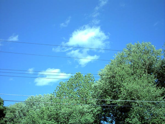
- It began as a gorgeous day in Westchester County,
New York, about a one hour drive north of New York City. In
this picture, it is about 2 in the afternoon. I am about to begin my tour.
-
-
-
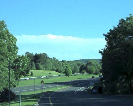
- At about the same time, a small front begins to approach
from the South. This view is in Northern Westchester County at the beginning
of I 684 which cuts the County in half. I am now about 30 minutes South
of my starting point in the above photo.
-
-
-
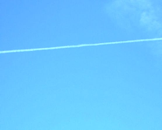
- The plot thickens. One lone aircraft begins the spraying.
This view is nearly at zenith, taken about ten minutes South of the
picture above and at about 2:45 PM.
-
-
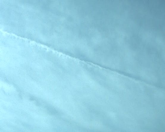
- Note the slight change in the trails. They are now a
little thinner than when they first appeared some years back. As you can
see, the trail above the thicker one is a bit thin and
does not blossom out with thick, white clouds ...
-
- It now takes longer to blossom out and at first, the
cloud is rather tenuous.
-

-
- Exactly two hours later, this is the view from zenith.
A thick, white layer of cloud, being reinforced by yet another spraying.
The entire sky is now looking like this picture, which was taken in the
Southern portion of Westchester County. I am about two hours south of my
starting point. Here, the spraying is thickest. Coincidentally, this is
very close to New York City. Perhaps about 30 minutes north of NYC. To
me, it looks much like the view from an airliner above the clouds rather
than below them.
-
-
-
-
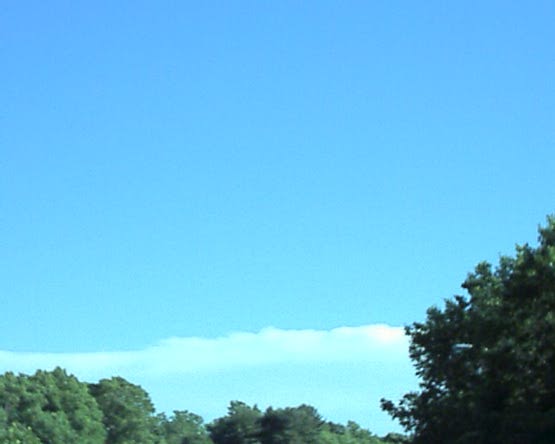
- This photo is near my home, taken from headquarters in
Putnam County. Apparently the spraying was concentrated to the West, Southwest
of my own area which would place it above New York City and Northern New
Jersey. Connecticut was apparently not covered, as my route took me into
the Western part of lower Connecticut with no visible spraying from the
Western portion of Connecticut.
-
-
- Whatever this spraying is, it is unconscionable that
no one, not one person or entity is saying anything about it. Even NASA,
with their high altitude space photos refers to these as "aircraft
contrails." They must think we are as spaced out as NASA to believe
that contrails cover hundreds of miles in length.
-
- Weather men, NOAA and the mainstream media, the FAA and
other entities give no answer as to what these trails are. Except to say,
"Jet contrails."
-
- Right. What's an Ark, Lord?
-
- If this keeps up, if the weather continues to change,
if there really is no longer a Spring or Fall, just Winter and Summer,
then Howdy Doody's main squeeze, Princess Summer Fall Winter Spring, will
have to change her name to Princess Summer Winter. Or Winter Summer. This
is a bummer.
-
- Jim Mortellaro, Ph.D.
|